
 Feb 3
Feb 3Desert Archaeology Cartography & the UAV Photogrammetry Revolution
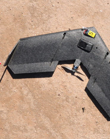
This week's blog is by Mike Brack, Desert Archaeology's mapping director and licensed UAV airman. I am fascinated with the technological change I have witnessed over a 25-year career of archaeology, cartography, and land surveying. From plane table and alidade to transit to electronic total station to the modern standard…